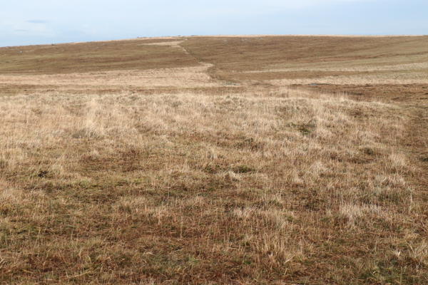
Picking up from where I left off last week finds me down from the summit of Brown Willy and about to take off across open moorland. I have been up here in fog and the lack of features makes it very disorienting. You want a heading of 35°.
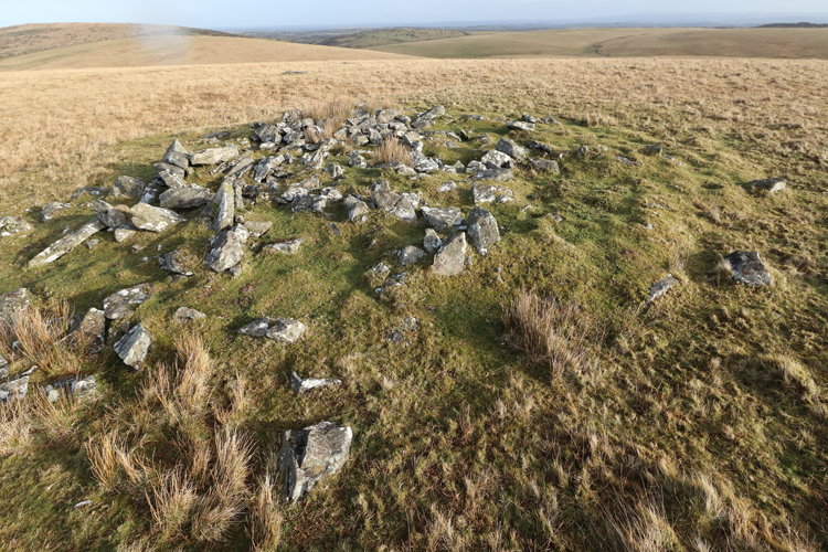
The first low hill has a couple of cairns on it, a small one and a much larger one. The large one consists of a low bank in a circle of about 15m diameter. The small one looks like it may have been a burial mound.


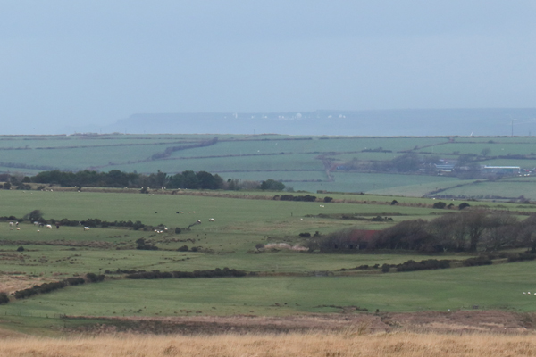
Though not high, visibility today was fair. The GCHQ station at Hartland Point on the north Devon coast was visible, around 30 miles away.

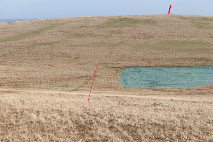
My next target was Buttern Hill, which has several cairns on its nearly flat summit. To get there requires crossing the watershed above the source of the river Fowey. A heading of 50° is required and it is essential not to attempt crossing too far to the south as you will find yourself in a mire and may easily get into difficulties.


I now turned south east and headed for Leskernick Hill. This is an extensive and complex archaeological site comprising a field system, numerous huts, cairns of various sorts, two stone circles and a stone row. I went down into the shallow valley between Buttern Hill and Leskernick Hill and crossed the cutting made at the valley bottom by medieval tinworkers. Leats run round both hills and would have supplied water to separate the tin ore from lighter waste material. This is a very large feature, perhaps 30m wide, 300m long and more than 10m deep. It is not known whether the tinners worked full time or were part time farmers.


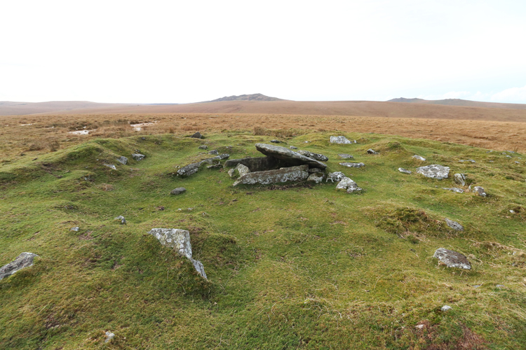
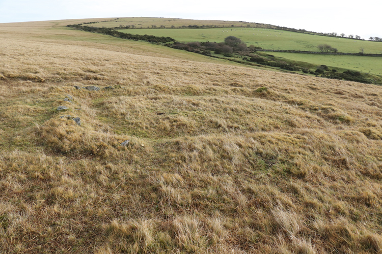
The top of Leskernick Hill has a cairn and shortly after passing it I started to move into an area strewn with granite boulders. These appear at first to be random but then you get your eye in and start to see field boundaries and hut circles everywhere you look. I was slightly surprised to see one granite slab that had been cut using chisels. I assume that would have been medieval activity rather than contemporary with Leskernick itself, which is late Neolithic to early Bronze age, 2500-1500 BC.

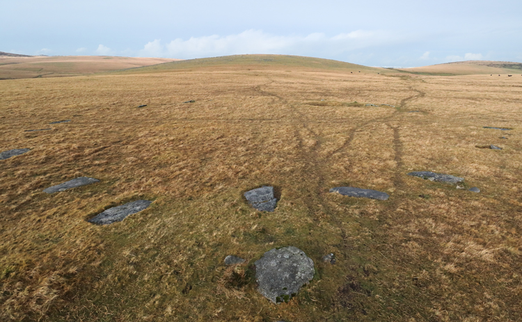
The two main concentrations of hut circles are here and here. They vary greatly in size, complexity and state of preservation.


Not for the first time I completely failed to find one of the two stone circles at the site. The smaller one is just below the village but all the stones are lying down and unless they have been recently cleared and trimmed round, the circle is very hard to find. The larger circle is about 300m away from the settlement and though the stones are all flat, they are mostly just above ground level and are much bigger.

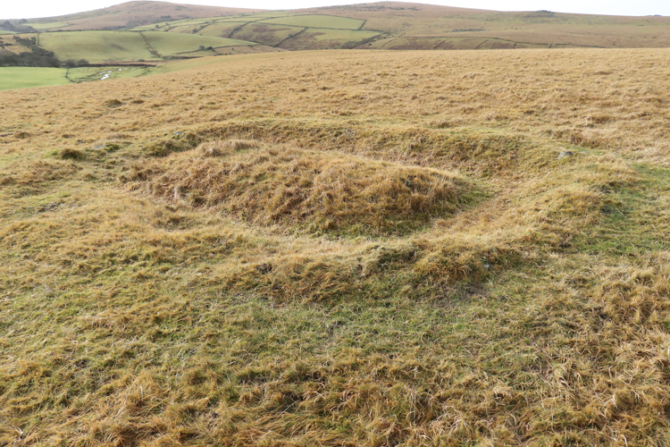
It was then back to the car, but let me just throw in one more enigmatic feature in the landscape. Look hard on Google maps and there are a lot of these in this area and I have no idea what they are. One suggestion was platforms for stacking peat to dry, but I have no idea whether that is right and would love to hear suggestions.
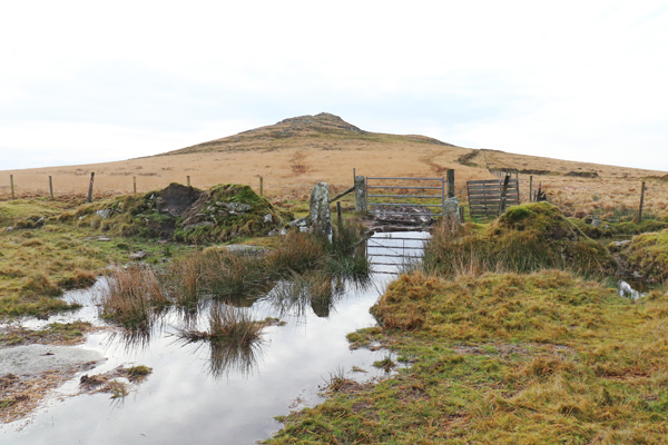
The rest of my walk was a bit of a comedown as there seem to be far more cattle on the more than there have been before and someone has made “improvements” to the track and put in a compound for holding livestock. It’s all private land, I doubt there’s much to stop the landowners doing what they please. Here’s where I parked.

Ha! Ha!
LikeLiked by 1 person
I enjoyed reading about your hike and seeing your photos. I can understand that in such a break landscape, you’d need to be careful where you go. My son’s talk of hiking in the North Carolina mountains is entirely different. Sometimes you can’t see anything for the trees, and we don’t have markings from ancient people.
LikeLike
The North Carolina mountains would be so very different from anything here, the UK is a hard place to get truly lost in, unless you’re a complete idiot.
LikeLike
We could supply complete idiots!
LikeLike
Don’t want any more thank you!
LikeLike