This has nothing to do with gardening other than in the sense that nature is a source of inspiration to most gardeners, including me.
Really wild country is pretty much non-existent in southern England. The land has been populated too long and cultivated too intensively for there to be anywhere wholly natural left. Bodmin Moor is no exception; most of it has some level of grazing going on and a lot of it is enclosed for farming, forestry, mineral extraction or some other purpose. Nor do you have to look very hard to see the workings of humans from earlier eras, right back to Neolithic times. Perhaps that’s what makes it unusual, the combination of non-intensive land use now with all the various layers of its earlier history still scattered about the landscape for all to see.
Cornwall is a popular holiday destination and even out of season places like Looe and Newquay will be quite busy. On a fine day at any time of year the coast path will have plenty of people on it. Get out onto the quieter parts of the moors and you can easily walk for hours without meeting anyone.
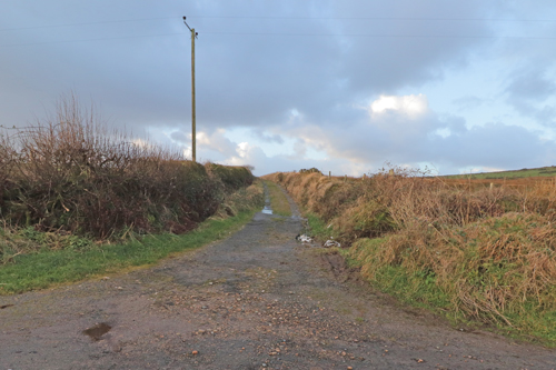
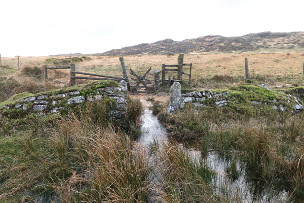
My walk today started near a place called Codda, up a little lane running north of the A30 at Bolventor. Bolventor is home to Jamaica Inn, immortalised by Daphne du Maurier, and on the old road just south of the A30. From the access road to the east bound carriageway of the A30 there is a lane heading north. I went up this lane about 700m to a turning to the left, an unsurfaced track, unsigned, running absolutely straight between two Cornish hedges. I parked on the verge and headed off up the track.
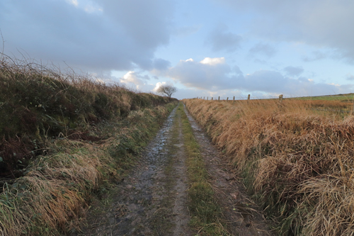
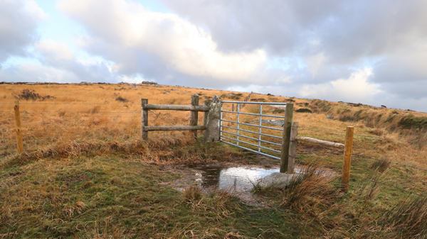
After 500m I turned sharply right and headed up the track until I reached a gate. I went through the gate and proceeded just a few degrees to the right of straight on, heading for a cairn on top of a low hill. This is Tolborough Tor. (348m) This is a tor cairn, a natural rock outcrop which has been altered and added to by people. There are some large flat stones on top of it but whether they are the remains of a burial chamber I don’t know.
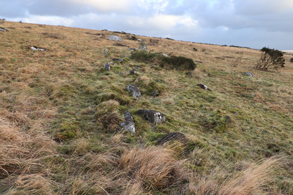
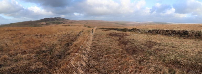
To the northwest is a good view of Brown Willy, which is where I was headed. I went down the slope to a gateway, through that, then off up a rise with the fence to my left and an old stone wall to my right. This wall runs for miles across the moor but I have not been able to find out its age or purpose. A short way up, perhaps 150m, and about 10m beyond the wall, is a long cairn. I had looked for this on several occasions before finding it in dry conditions this summer. There are a few stones on edge but none is higher than 0.5m. except one at the end which is about 1m tall.
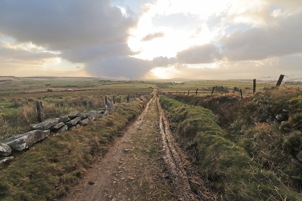
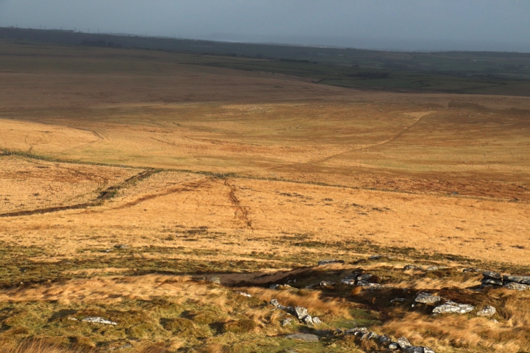
I followed the fence line for around 1700m. Off to the right is a small rocky tor and on the left is a gateway through the fence. I went through here and headed straight for the hillside on a broad, muddy track. There was a herd of Belted Galloway cattle beyond the fence, more livestock than I’ve seen before on that particular piece of land. Standing amongst the dead stems of the moorgrass they reminded me of cattle in the Australian outback, surrounded by inedible spinifex grass. The A30 is now out of sight and hearing and the treeless landscape can feel remarkably remote from civilisation.

100m before you reach the hill proper an old wall crosses the path diagonally and along it to the left is a small structure constructed from granite slabs. I seem to recall reading something about a hermit living up here, perhaps this is where. Its hard to see what other purpose it might have had, it would only hold 3 or 4 sheep.


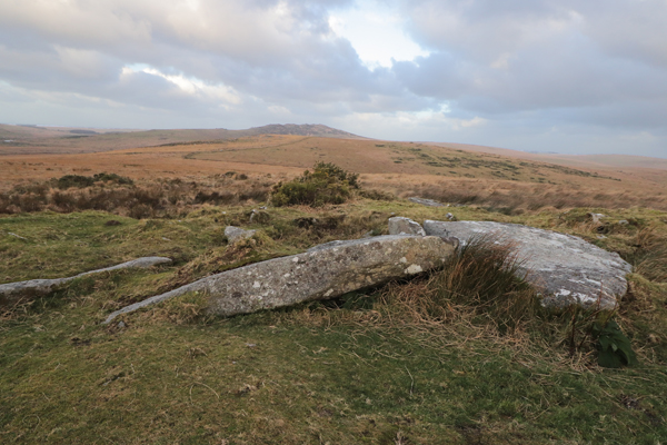
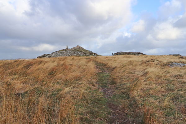
The path leads up the side of Brown Willy where there is a large cairn topped by a trig point. (420m) Interestingly, for all its modest height, you are at the furthest point from the centre of the earth that you can get in the British Isles. There are many higher places but because of the shape of the earth, their tops are closer to the centre of the earth.
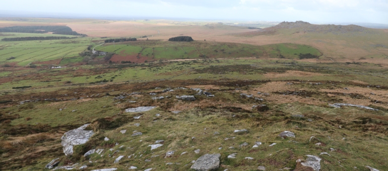
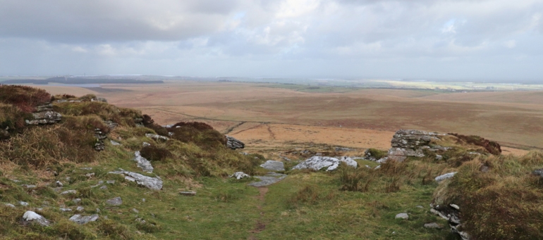
From the top of Brown Willy you can see the sea to both north and south, to the west is the high ground of the clay country and to the east is Dartmoor. The view this morning was limited by somewhat hazy conditions and the wind was blowing hard enough to make standing up difficult and taking pictures all but impossible. The path leads past the cairn heading north.
That’s as far as I’m going to take you today, here are a few pictures taken earlier this year.
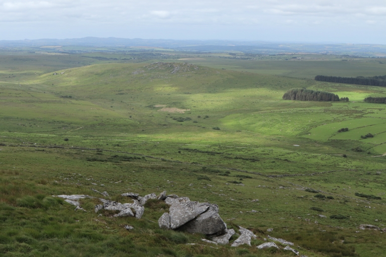
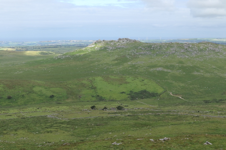
Rough Tor is an easy 45 minute walk from Brown Willy. On Google Maps satellite view you can see Bronze age field systems on its southern flank, with Fernacre stone circle a little further out. The western slopes of Brown Willy have medieval fields overlying Bronze age fields and reusing some of the older boundaries. Garrow Tor also has settlements and field systems on its eastern and southern slopes, probably Bronze age.

Must get back to Cornwall. Excellent walk beautifully illustrated with photographs.
LikeLike
I must get back up there and finish the walk, I’ve left myself in the middle of the moor. The other half is scenically less good but archeologically richer.
LikeLiked by 1 person
What a fun post! We had one holiday in Cornwall — very enjoyable.
LikeLike
That bit of the moors is a place almost no visitors visit. I saw no-one, and that’s normal even in summer when the weather is better.
LikeLike
We were there the week before Easter, and there was a heavy snowstorm. We thought it spectacular.
LikeLike
That was very good timing, or very bad. We don’t get much snow.
LikeLike
We like snow, so the weather was fine with us.
LikeLiked by 1 person
You were brave going out walking today. It’s been blowing a right hooley here all day! Looks like a pretty good hike with great views.
LikeLike
9.8km, 2hrs 20mins, just one steep section. A pleasant walk, except for the wind, at least it stayed dry. I saw no-one else. I need a clear winters day for really good views.
LikeLiked by 1 person